Episode Summary
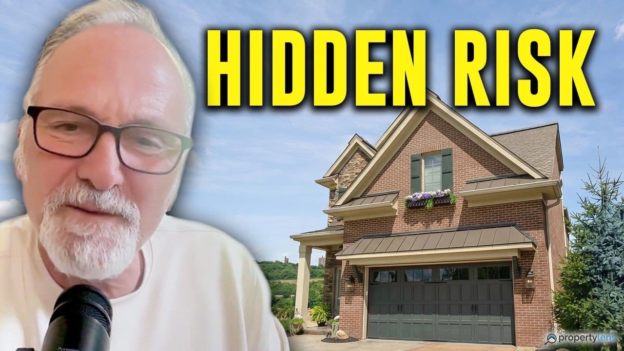
In this episode of Property of the Week, hosts Bob Frady and John Siegman uncover one of the most shocking properties they've analyzed so far. At first glance, this newer construction home outside Cincinnati looks incredible — river views, modern finishes, over 4,000 square feet, and a premium location. But then they noticed something alarming. The house was built on the wrong side of a levee. What follows is a deep dive into flood risk, municipal decision-making, environmental exposure, and the questions every buyer should ask before purchasing any riverfront property. A stunning view doesn't reduce risk. Sometimes it explains it.
What the Data Revealed
The PropertyLens report surfaces what the listing photos never could. The property sits in an AE FEMA flood zone, meaning flood insurance would be required with any financing — and standard NFIP flood policies may not fully cover a home at this price point. But the deeper issue isn't just the flood zone designation. The levee sits behind the house, placing the property between the river and its own flood protection system. Levees exist because flooding has already happened there. Municipal approval does not equal safety. Beyond flood risk, the report flags nearby brownfield contamination sites, underground storage tanks within range, moderate radon exposure, elevated moisture and mold concerns, and an aging water heater nearing the end of its expected lifespan. Newer construction does not eliminate environmental risk — and in a home like this, the inspection list is long.
Key Takeaways
- The property sits in an AE FEMA flood zone, making flood insurance a requirement with financing.
- NFIP flood policies may not fully cover high-value homes in this price range.
- Levees exist because flooding has already happened — their presence is a warning, not a reassurance.